SALTYSEASISTERS
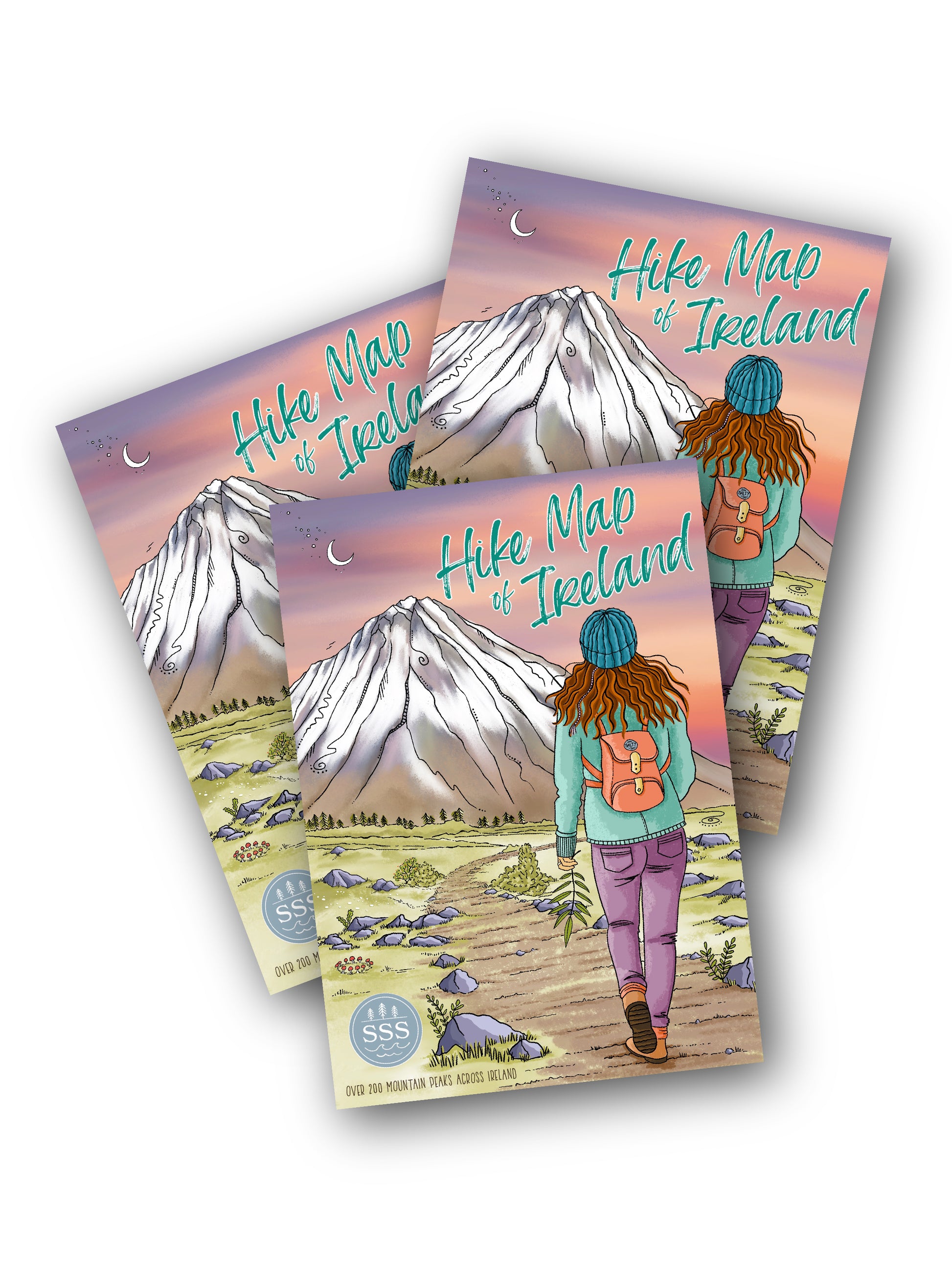
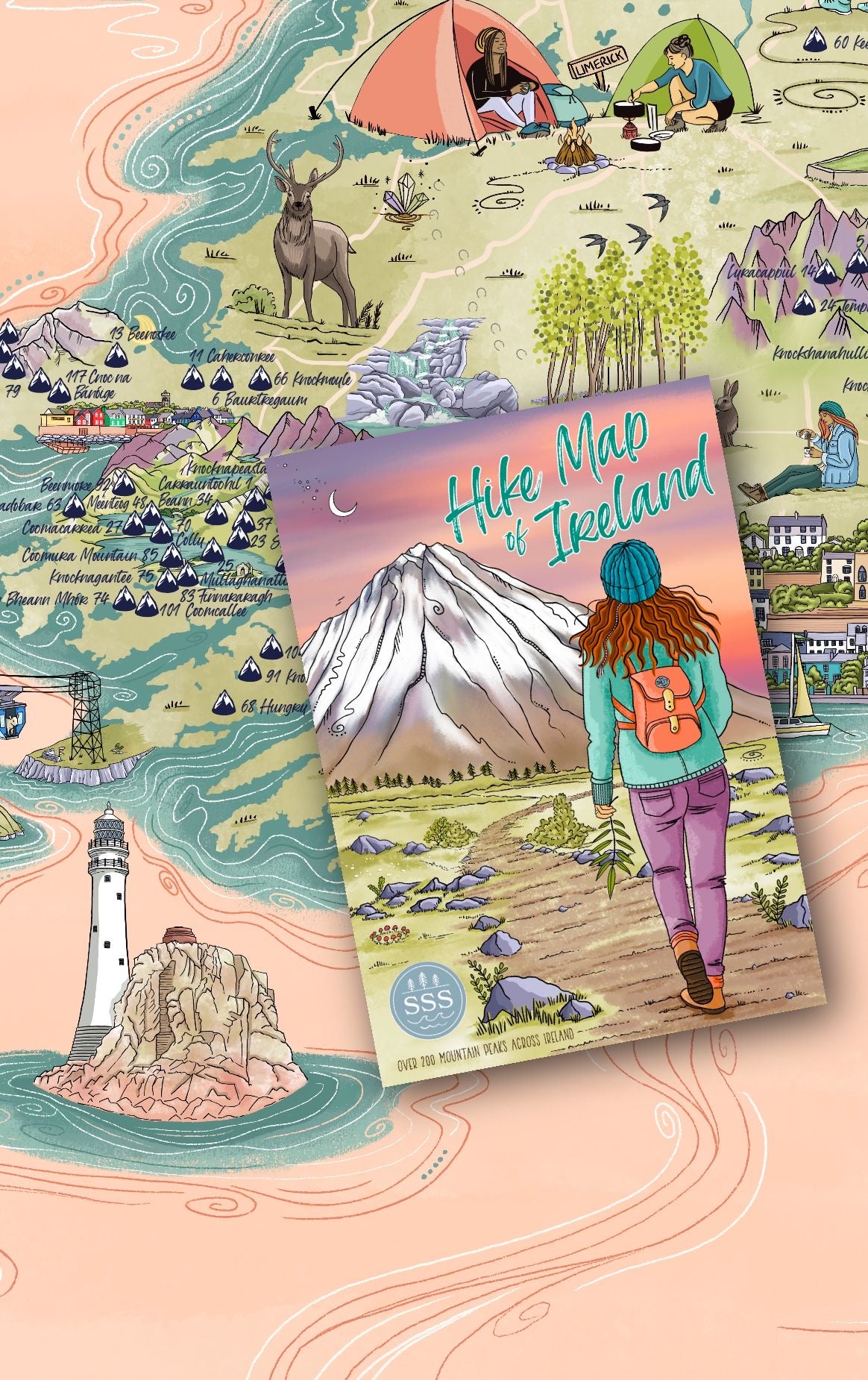
Hike Map of Ireland
Couldn't load pickup availability
THIS MAP IS AVAILABLE FOR PRE-ORDER EXPECTED SHIPMENT IN 4-6 WEEKS. Minor amendments may be made to branding before launch.
The Hike Map of Ireland contains over 200 mountain peaks scattered throughout Ireland! It includes the 4 Peak Challenge. 32 County High Points, the Highest 100 Summits in Ireland, and the Highest 51 Summits per Province. This map is beautifully illustrated in classic Salty Style, and is size A1, folding down to size A5. Inside, you will find a detailed map of Ireland, accompanied by beautifully hand-drawn graphics of iconic landmarks. On the other side, there is a grid broken down into counties with more information about each hiking location and a checklist for you to tick-off your completed hikes as you go.
A very special thanks to MountainViews.ie, who's invaluable experience and collaboration made this map possible. Their platform is a treasure trove of information for hikers and hillwalkers, so go check them out https://mountainviews.ie/
Shipping & Returns
Shipping & Returns
Free shipping to Ireland and the UK. Shipping charges apply for other destinations, calculated at checkout.
Please contact us for details on returns.
Dimensions
Dimensions
The Adventure Maps are A1 in size. All maps fold down to A5 to be carried along on your adventure.
Materials
Materials
All our maps and prints are printed on sustainably sourced paper and packed in recycled and compostable packaging.

